High-definition Scanning

Surf Lessons for All
High-definition Scanning

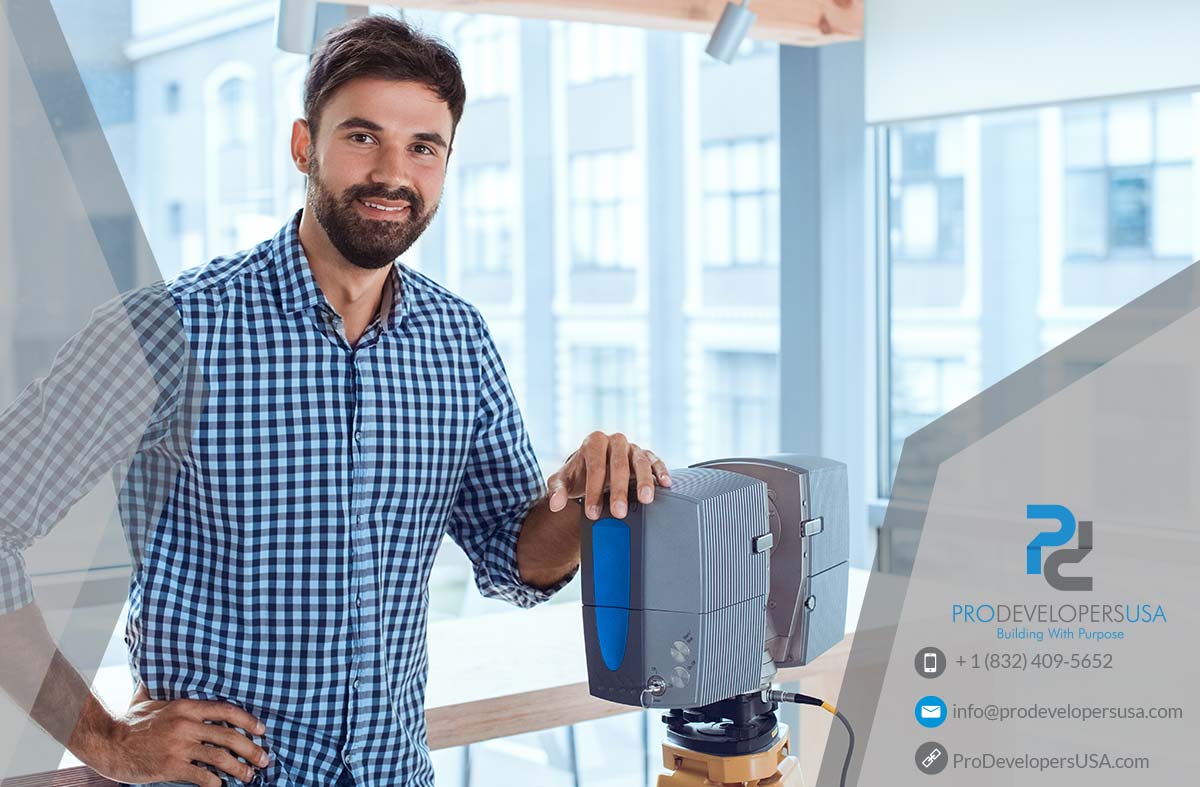
High-definition Scanning by Pro Developers USA

High Definition Laser Scanning (HDLS) enables white shield survey and mapping experts to capture and model critical field data on mapping projects of any size. The scanners use laser measurement technology to collect large amounts of highly detailed, survey quality data, quickly, efficiently and safely. Three-dimensional HDLS record very precise and accurate surface data of objects in a non-destructive manner.

Based on LiDAR (Light Detection and Ranging) technology, these instruments use infrared light to calculate and record the distance to any object. Several types of HDS exist to digitize objects of various sizes. Measurement targets can range from small diagnostic artifacts to large, complex architectural sites.

Services offered

  • 3D data capture of all visible features
  • As-built surveys for retrofitting
  • CAD data exports in 2D and 3D CAD formats
  • Compatibility with a variety of software for convenient viewing of Raw Point Clouds
  • Documentation of historical structures for preservation
  • Fast, accurate, safe, complete, remote data collection
  • Five (5) mega pixel, full dome, still photography
  • Full-color panoramic outputs
  • Integrated real time streaming video with zoom
  • Manufacturing and production
  • Refinery mapping
  • Simplified data analysis for complex tasks (i.e. volume calculations or clash detection)
  • Topographic base maps for engineering design
  • View corridor analysis
High-definition Scanning

Call Now (832) 503-1230

© , Pro Developers USA. All rights reserved.